Suggestions for Hiking Routes
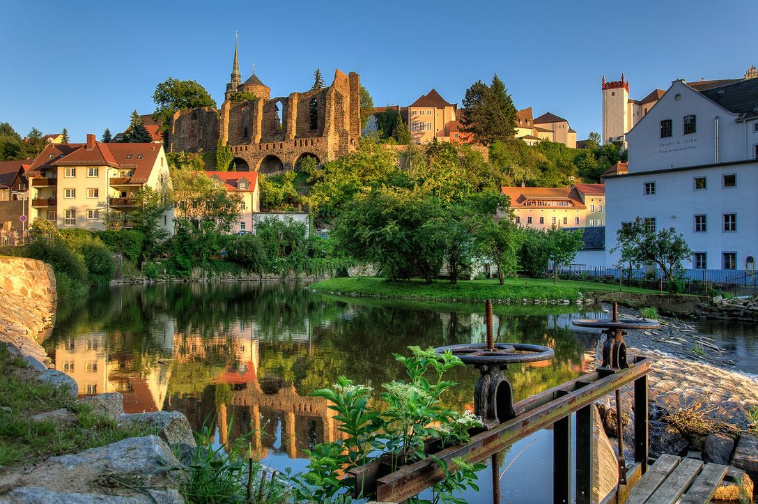
Bautzen has a lot more to offer than just its attractive old town. The beautiful surrounding countryside also offers great opportunities for walking and hiking.
An excellent hiking destination is the approximately 1,300 ha large Bautzener City Forest. This includes forest areas in the Bautzener Humboldthain, the Mönchswalder mountain south of Bautzen, the Czorneboh with its mining site, the Thromberg and the Schmoritz.
Tips for Short Hiking Routes from Bautzen

Hike to Grubschütz
Distance: approx. 4,5 km
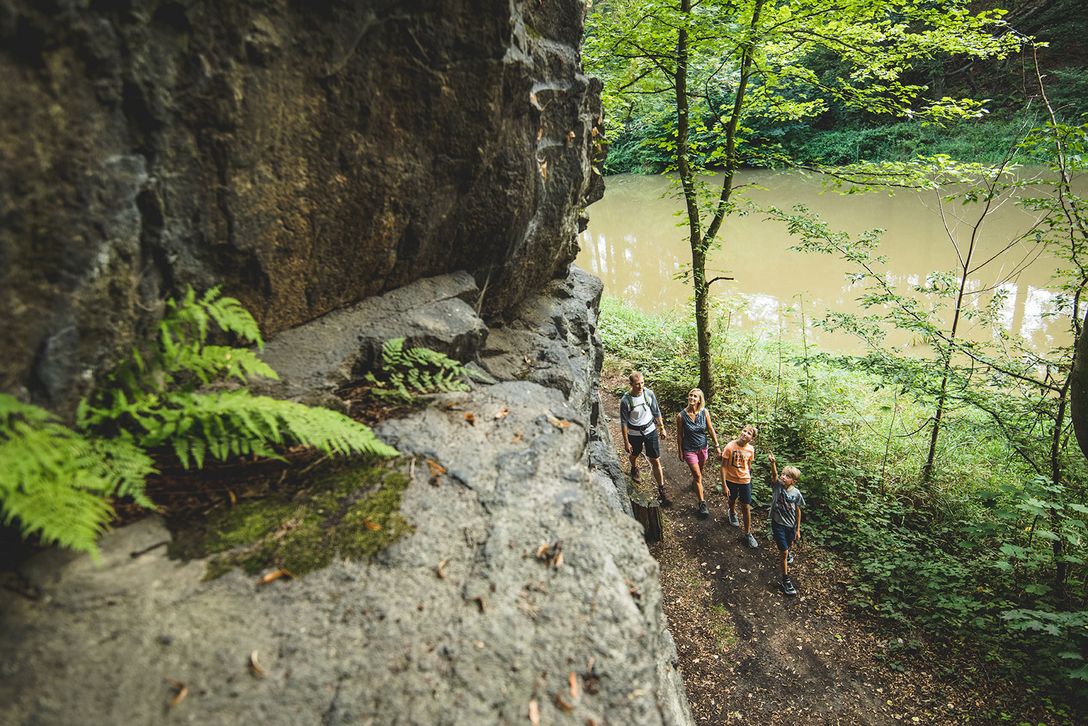
Departing from Bautzen in a south-westerly direction, you enter Humboldthain via the Neusche promenade, following the course of the wild-romantic River Spree and passing under the rocky cliffs rising above it. From there the route continues to Grubschütz, which offers several possibilities for rest and refreshment.

Hike to the Bautzen Reservoir
Distance: approx. 13 km
North of the Gesundbrunnen district, where the River Spree broadens, cross the pedestrian bridge over the reservoir and arrive at the Oehna district.
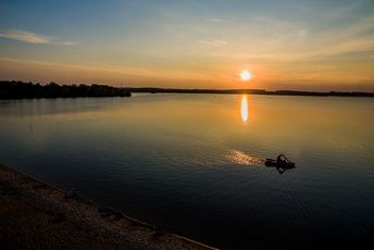
There you turn right and cross the little dam at the upstream end of the reservoir, bringing you via the elevated viewpoints of Abgott (201 m) and Mierschberg (192 m) to Bautzen reservoir.
Alternatively, you can also turn left at Oehna (Way-Marker sign: yellow line) and go through the villages of Neumalsitz and Lubachau to Kleinwelka with its dinosaur park and maze. The Kleinwelka trail leads you to explore the center of Kleinwelka. From there it is only a few kilometers further to Schmochtitz , where you can find a Stately home, now the Bishop Benno House, with its charming landscaped park.
Long Distance Hiking Trails

The Ecumenical Pilgrimage Route
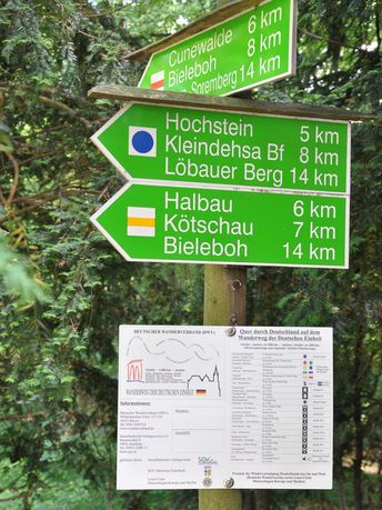
Many visitors are delighted to discover the city of Bautzen each year while hiking the popular ecumenical pilgrimage route, the St. James Way (Jacobsweg). In Bautzen, the St. James Way follows the course of the historic Via Regia, which can be seen in today’s Seidauer Straße and Gerberstraße to the North of the old town, witness to the history of the pilgrims of past centuries. The route to Santiago de Compostela is marked by a sign with a yellow mussel on a blue background. This sign is also used as a mark of the 450 kilometer long section of the route from Görlitz to Vacha in Thuringia.
![[Translate to English:] Böhmische Brücke in Obergurig [Translate to English:] Böhmische Brücke in Obergurig](/fileadmin/_processed_/7/0/csm_Boehmische-Bruecke-Obergurig-P5280037_2ea2694631.jpg)
The Bohemian Trail
From the Via Regia, many roads lead southwards towards Bohemia. One of them is the Bohemian Trail. It leads from Bautzen to Obergurig, then through Kirschau, Schirgiswalde and Sohland into the Bohemian hills. From there, and known as “Old Prague Street”, it makes its way further south via Schluckenau, Rumburg (Rumburk), St. Georgenthal (Jiřetín pod Jedlovou) to Böh misch Leipa (Česka Lipa), and finally to Prague.

Hike to Czorneboh
Distance: approx. 3,5 km | Way-Marker: yellow line
Crossing the south-eastern outskirts of the town, you will go through the old Bautzen district of Strehla to the Natural Park and Observatory. Follow the yellow line way-marker to the south and you will reach the northern ridge trail to Döhlener Mountain via Mehlteuer, Pielitz and Großkunitz. This finally leads you along the hiking trail of “German Unity” to the 561 m high Czorneboh and its Mountain Guest House.
An ascent of the stone observation tower, which is located next to the mining site and was put into operation in 1851 as the first of its kind in the Oberlausitz, is rewarded with a magnificent view over the Oberlausitzer Bergland, when the visibility is good.
Distance: approx. 8 km | Way-Marker: red line
Alternatively, you can also reach the Czorneboh via Daranitz, Rachlau and the Schimmelbusch.
